Using big data and virtual reality to plan for connected and autonomous vehicles
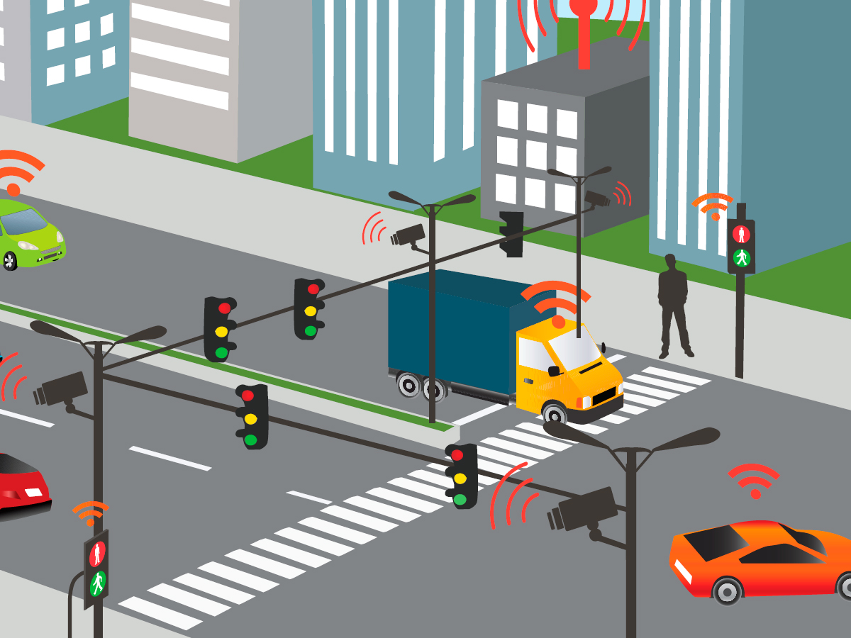
Autonomous and connected vehicles will soon be on public streets interacting with pedestrians, cyclists and other vehicles. (Illustration by Monica Odo)
With the emerging technology of connected and autonomous vehicles under rapid development, transportation engineers like Bilal Farooq are already tackling the question of how to integrate them into our already busy streets.
Professor Farooq is developing systems that monitor traffic and will be able to direct driverless cars to the fastest and most efficient routes, while creating safe spaces for all.
“In transportation engineering, we have this concept called ‘Complete Street,’” said professor Farooq. “It’s where we look at street usage of normal vehicles, public transit, cyclists, and connected and autonomous vehicles interacting with pedestrians, and develop networks that are conducive to all users. My research is geared towards making it possible.”
Professor Farooq’s work has used tools such as street level sensors to detect vehicular, cyclist and pedestrian traffic in urban areas such as Montreal, and to create datasets that show how the vehicular traffic could be rerouted for speed and efficiency.
“Using big data and machine learning, we can predict how the flow changes and suggest alternate routes,” he said. “We have a big change coming with connected and autonomous vehicles, and these systems can be used to alleviate congestion and improve throughput and travel time.”
As a result of professor Farooq’s previous work in Montreal, and through mathematical modelling here in Toronto, twofold improvement for throughput has been shown using the systems that redirect traffic for optimal flow, he noted. “In Toronto, during rush hour, many of the streets are congested, but others are empty,” he said. “By rerouting the traffic, we can increase efficiency.”
He is currently working with the City of Toronto’s Big Data Innovation Team to create a plan to deploy the sensors at street level, which can accurately monitor the network throughput for vehicles, bicycles and cyclists. The end goal is to create an accurate picture of traffic patterns that can be used to model how autonomous vehicles would navigate the streets.
He also has a partnership with the City of Markham, where data collected from the sensors will be used to inform the navigation of autonomous vehicles engaged as a form of on-demand ridesharing for use as a public transportation option in Markham’s downtown core.
In addition to studying vehicular movement, he uses an immersive virtual reality environment developed in his lab to study the interactions between pedestrian and connected and autonomous vehicles, as well as the perception and acceptance of this technology on urban roads.
Professor Farooq’s work is supported by the Natural Sciences and Engineering Research Council of Canada, the Social Sciences and Humanities Research Council of Canada, the Canada Foundation for Innovation, and the Governments of Ontario and Québec.