Arctic Research
Field-based research in the Arctic
Exploring ecosystem dynamics in a changing climate
Arctic Research — Cape Bounty
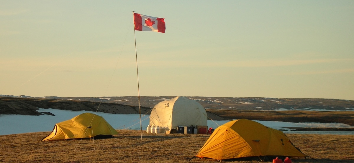
The PolarSEAL research group, led by Dr. David M. Atkinson, conducts cutting-edge studies in the Canadian Arctic, focusing on how climate change is reshaping permafrost landscapes, ecosystems, and hydrology. Our core research site is the Cape Bounty Arctic Watershed Observatory (CBAWO), located on Melville Island, Nunavut (74°55′ N, 109°35′ W),
Cape Bounty Arctic Watershed Observatory (CBAWO) (external link, opens in new window)
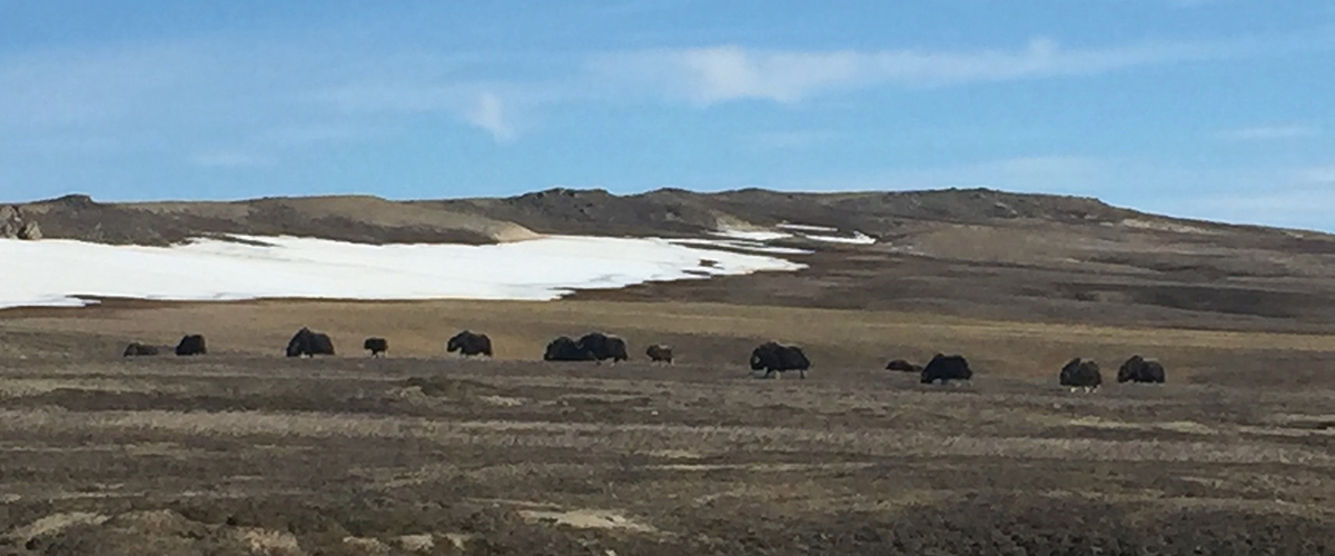
Cape Bounty—managed by Dr. Melissa Lafrenière, Director at Queen’s University, and founded by Dr. Scott Lamoureux—has been a cornerstone of Arctic research for nearly two decades. Dr. Atkinson was a founding graduate student at the site in 2003. The observatory monitors paired watersheds in one of the coldest continuous permafrost regions in North America and integrates climatology, hydrology, geomorphology, biogeochemistry, and ecosystem monitoring to understand how thaw, runoff, and disturbance events affect the landscape and carbon cycle.
Key Research Themes:
- Permafrost & Thermokarst Dynamics: Ground-ice monitoring, active-layer depth, and landscape response to thaw-driven events.
- Hydrology & Watershed Processes: Continuous monitoring of snowmelt, rainfall-runoff, and streamflow patterns.
- Vegetation & Carbon Flux: RPAS-based multispectral and LiDAR mapping combined with OBIA to quantify tundra vegetation and carbon exchange.
- Biogeochemistry: Assessing sediment transport, lake chemistry, and greenhouse gas fluxes in thermokarst and slump-affected areas.
Methods & Technology:
- RPAS / UAV-mounted LiDAR and multispectral sensors
- Satellite remote sensing and object-based image analysis
- Long-term sensor networks for climate, soil, streamflow, and lakes
- Ground-truthing and GIS-based spatial modeling
Fieldwork & Collaboration:
Our team camps on Melville Island every summer, conducting fieldwork with minimal environmental impact. Graduate students, post-graduates, and collaborators gain hands-on experience in RPAS mapping, data collection, and analysis.
Arctic Research — Yukon
Yukon Permafrost and Landscape Research
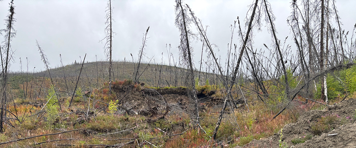
In the Yukon, Dr. Atkinson joined Dr. Phil Bonnaventure (University of Lethbridge) to study permafrost, active layer detachments, and ecosystem response along the Dempster Highway in the Ogilvie Mountains. This fieldwork integrates:
- High-resolution RPAS surveys using the DJI M3M multispectral drone
- Digital Terrain Models (DTM) and Digital Surface Models (DSM) to map valley vegetation and topography
- Monitoring an active-layer detachments in a valley previously burned ~10 years ago
- Assessing climate-driven landscape change at fine spatial scales
This ongoing research complements Cape Bounty studies by providing insights into permafrost thaw, vegetation regrowth, and geomorphic processes across northern landscapes.
Opportunities for Students & Collaborators
Graduate students, post-graduates, and community-based partners are encouraged to join PolarSEAL projects. Opportunities include:
- Hands-on Arctic fieldwork
- RPAS operation and high-resolution mapping
- Remote sensing and spatial analysis
- Participatory, community-based research collaborations