The GeoCollaboration and GIS Lab (GeoColab) is part of the Department of Civil Engineering in the Faculty of Engineering and Architectural Science, led by Dr. Songnian Li. The laboratory was established in 2003 through an research infrastructure project funded by the Canadian Foundation for Innovation (external link, opens in new window) (CFI) and Ontario Innovation Trust (OIT).
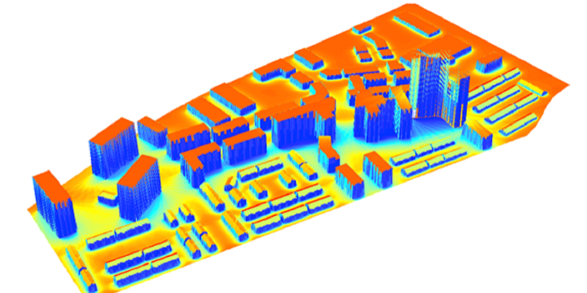
3D solar isolation mapping
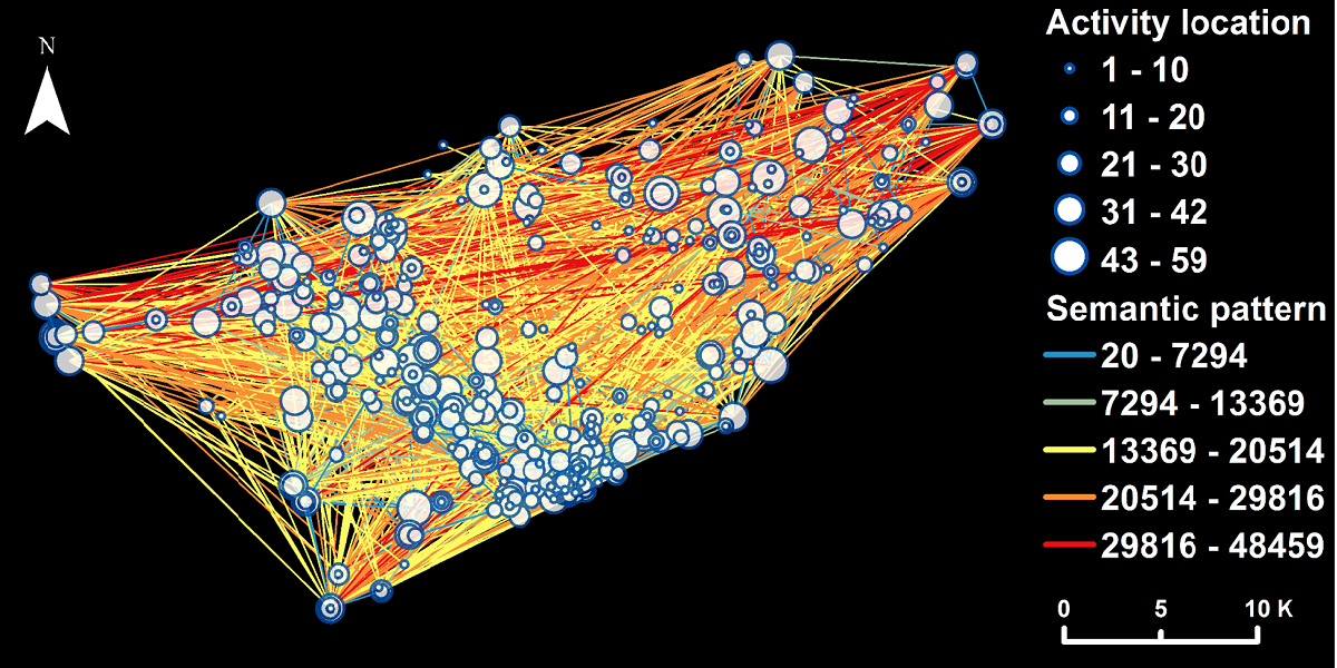
Human activity patterns shown as activity network
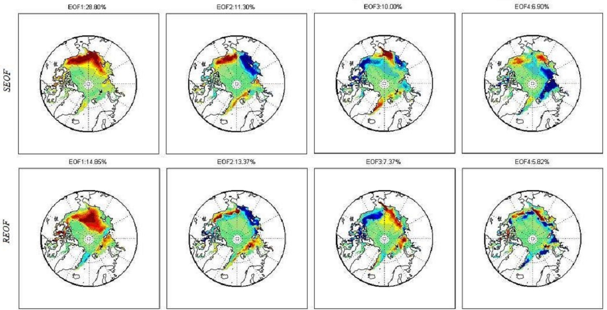
EOF patterns rendering positive anomalies in red and negative anomalies in blue w.r.t. sea ice extent
Over the years, the lab has been supporting researchers, graduate and undergraduate students, and visiting scholars conducting cutting-edge research in the areas of spatial information management and geospatial information systems (GIS), particulary on geo-collaboration, big gesopatial data analytics, spatial event detection, geospatial web, spatio-temporal analysis of human mobility, land cover information services, solar energy potential mapping, etc. Current reserach projects are related to one of the following topics:
- geocollaboration (design and use of technologies to enable groups to work productively with geospatial information)
- geospatial event detection (methods and algorithms for detecting geospatial events using big data such as geosocial media data, trajectory data, sensors data and other crow-soured data to develop sense & response GIS systems and applications)
- spatio-temporal analysis of human mobility
Sponsors


